
Recently, my wife and I traveled to Durango, Colorado for a week long trip to explore the area. Our trip focused on the area between Durango and Ouray, including several surrounding areas.

Due to the Coronavirus pandemic, things were generally quiet for most of our trip. We flew into the Durango airport – which was very pleasurable and easy. We stayed in Durango and used that as our hub.
I’d like to share some of our experiences, and show some images of the area between Durango and Ouray. You’ll notice from the map above, that there are several 14,000 foot peaks along the route.
Below are a few images from Durango.


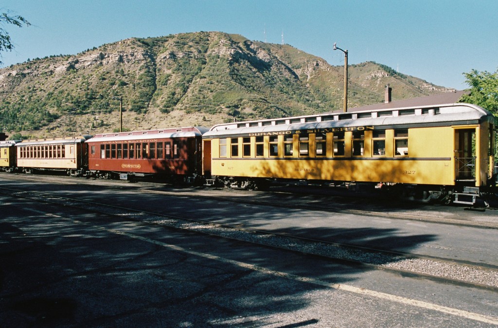
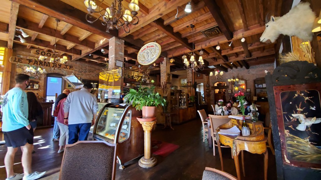

Durango is a very nice small town on the edge of the San Juan Mountains. This is at the southern part of the Rocky Mountain range, and not far from New Mexico. In fact, the day we visited Mesa Verde National Park, I could see Shiprock in New Mexico from the higher vantage points in the park.
The reasons we wanted to visit this part of Colorado were partly due to it’s proximity to New Mexico. I love the southwestern part of the United States. I like the dry climate and high elevation. I love the mountains and the high plains. I really like that it’s cooler than central Texas in the summer. It was really nice that a cold front came through a few days before we got there, and the mountains were white. It has snowed above 9,000 feet – only about 6-8 inches, but enough to make the mountains look beautiful.

I also was interested in exploring the area between Durango and Ouray to do some hiking and exploring. Before we went on this trip, I bought my wife some travel books about the area. One book, Tomboy Bride, was an interesting story about a lady’s life as the wife of a mine engineer, and their life at the Tomboy mine near Ouray, Colorado (as well as some other mines in North America). My wife loved reading about what it might have been like to live in the area in the early 20th century as we drove and hiked through the same mountains.
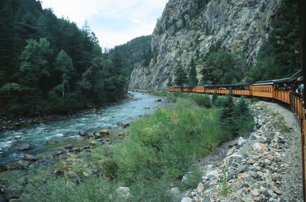
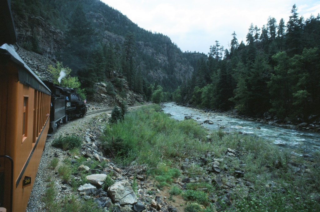
While exploring, we took one day to ride the Durango – Silverton Narrow Gauge Railroad. Due to Coronavirus, it’s a shortened ride, but still very enjoyable. Normally the train runs between Durango and Silverton, but the shortened trip just covers part of the route.
Here are some images from Silverton and the narrow gauge railroad.


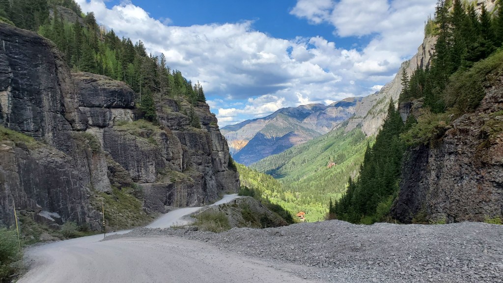
The drive between Durango and Ouray is very mountainous. Fun, but a bit tedious if you’re not used to driving in the mountains. I enjoyed it, but it’s not a drive I’d want to do every day. The road goes through several high passes, and I think the portion between Silverton and Ouray is the most extreme.
From Ouray, we also explored the dirt road that leads to the Camp Bird Mine. Camp Bird Mine is across the pass from where the Tomboy Mine was many years ago. Although we didn’t visit the site of Tomboy Mine, you can view it on Google Maps, and visit on foot or by OHV, if you’re adventurous. On the map you can also see Imogene Pass and Camp Bird Mine on the other side. Camp Bird still appears to be a functioning mine, but Tomboy is just ruins of another time.
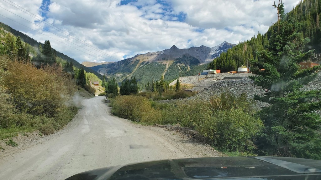
This was an exciting, challenging road. Thankfully, we were driving a 4 wheel drive, Ford Explorer, that handled the dirt road well. There are some narrow, cliffside sections, that were a bit intimidating, and it’s very steep in some sections – more difficult to come down than to go up.
Below are some photos from hiking near Silverton as well as the town of Silverton and from the town of Ouray.
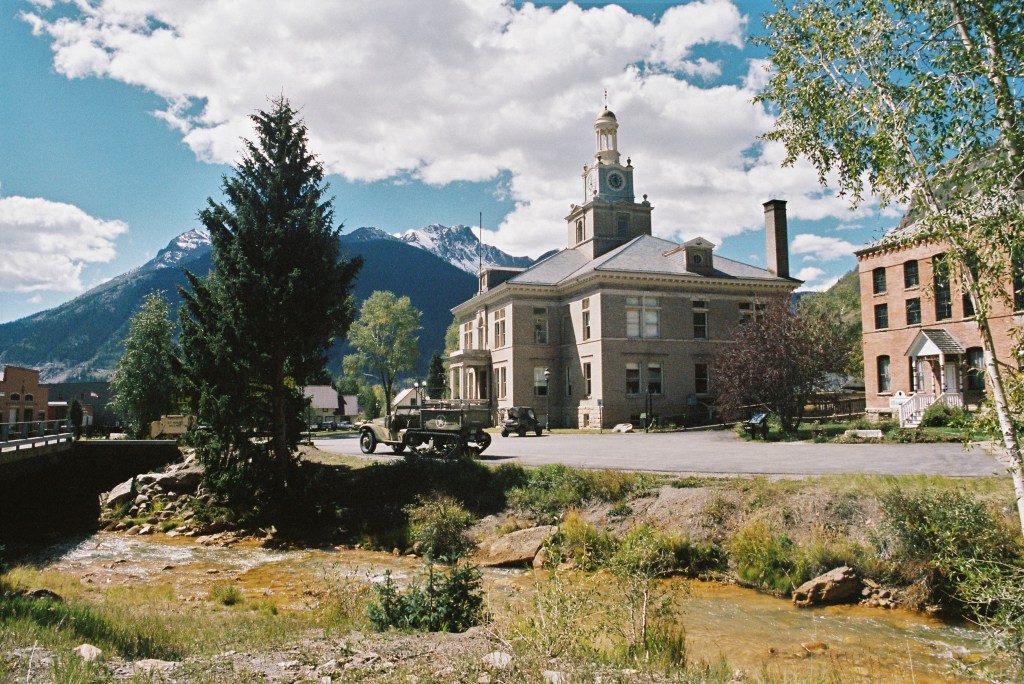


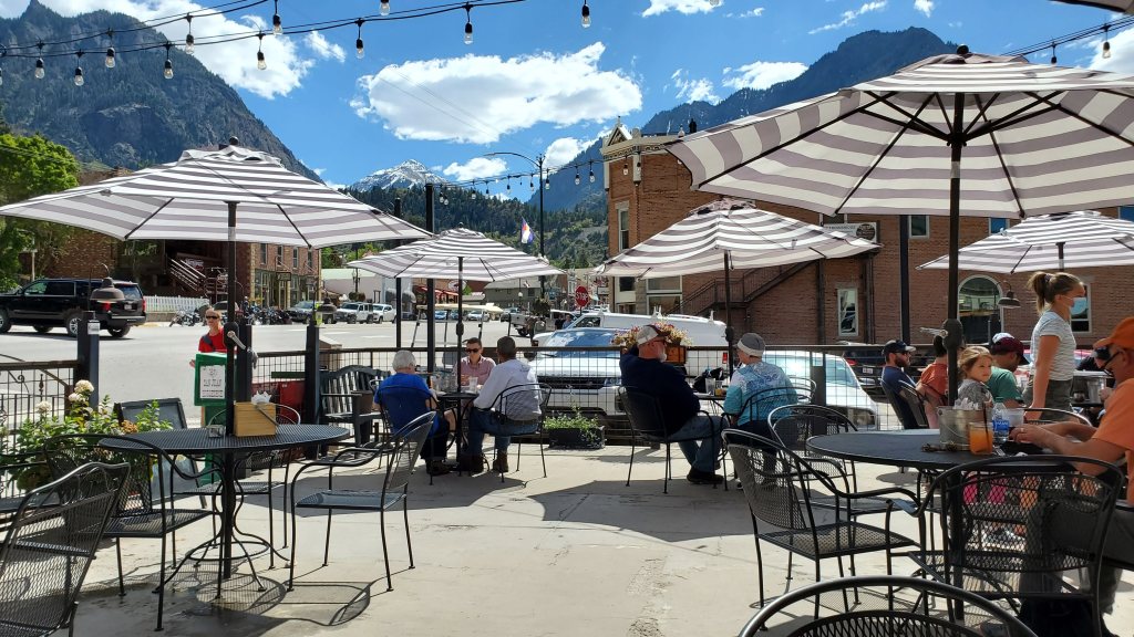
Ouray is a bit more established and modern than Silverton. It’s also a bit lower than Silverton, so in the summer it can be a bit warmer.
All in all, we had a great trip. A welcomed escape from the Texas summer heat, and a welcomed escape from being trapped in the house due to Coronavirus.
If you’re looking for a place to visit that’s a little different, with great mountains and friendly people, I highly recommend southwest Colorado. I am looking forward to my next visit already!

You must be logged in to post a comment.